
 Image 1 of 4
 Image 2 of 4
 Image 3 of 4
 Image 4 of 4
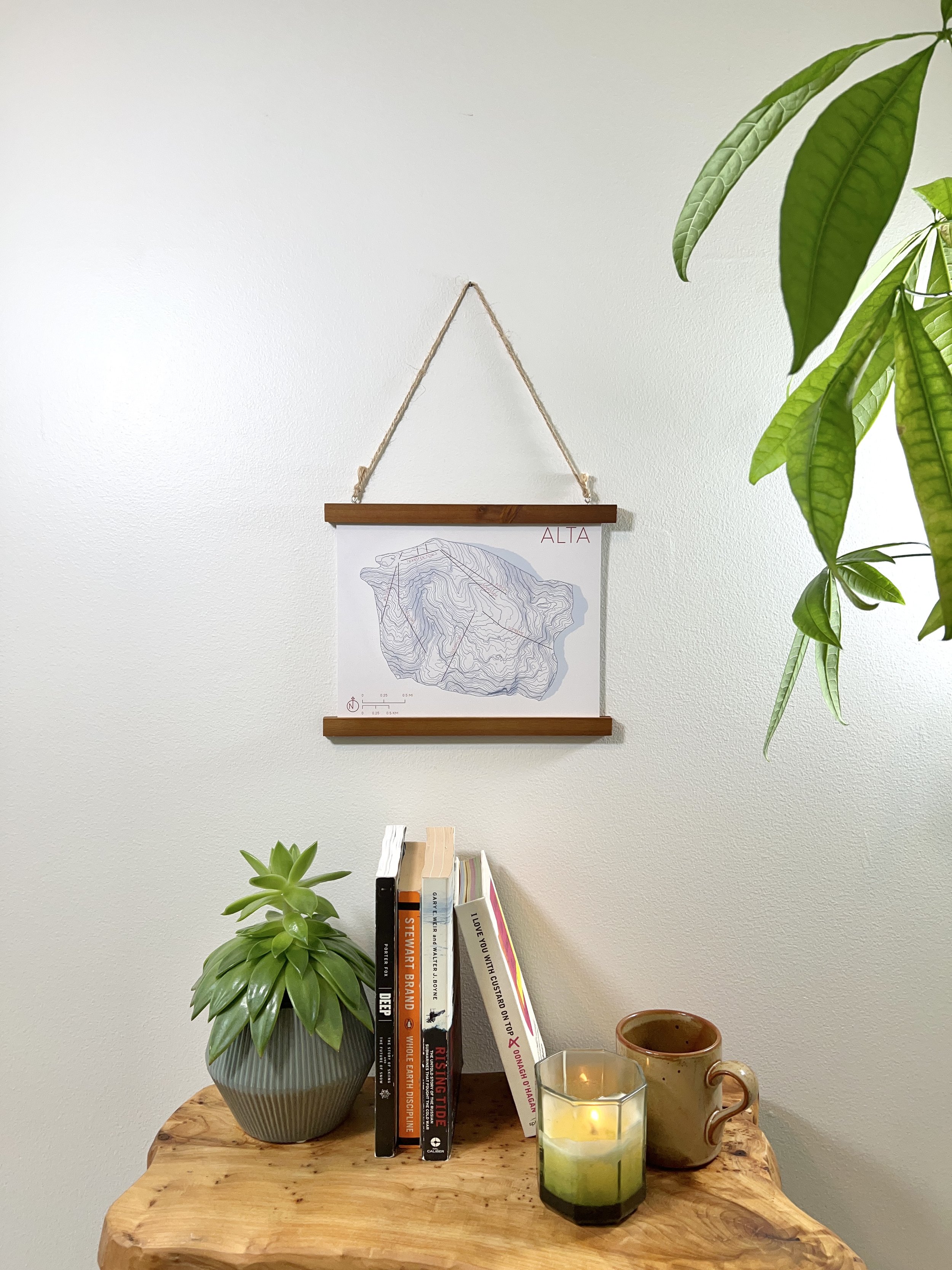
31,000 total vertical feet. 1,200 ski runs and counting. An average of 500 inches of legendary pow every year. No wonder both locals and tourists alike pay homage to Utah’s mountains - and this map is the perfect reminder of your time spent shredding.
We created this map by generating contours at approximately 50ft and 150ft based on elevation data clipped to the boundaries of Alta ski area.
Our 8 x 10 maps are printed on 100lb, white silk covered paper.